
Home | Book | Maps | Illustrations
|
Twelve illustrations by Merle Lozier are provided with the book. Each of these illustrations come on a different piece of paper about 5x7 inches in size. The author notes that these illustrations were from various photographs. The captions are taken from pages 7-8 of the book.
|
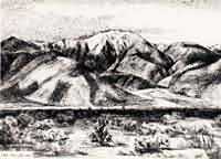
Mt. San Jacinto
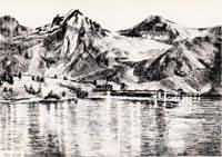
Rae Lake
|
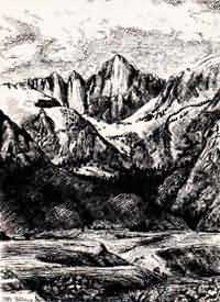
Mt. Whitney
|
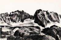
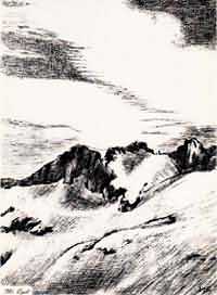
The Palisades
|
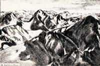
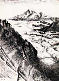
The High Sierra
|
Mt. Lyell
|
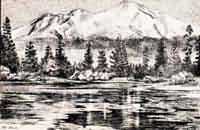
Mt. Shasta
Mt. Jefferson
|
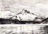
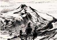
Mt. Hood
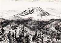
Mt. Adams
|
Mt. Rainier
|
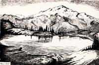 Glacier Peak
|
Home | Book | Maps | Illustrations
Copyright © 2000
Daniel Craig Giffen
All scanned content:
Pacific Crest Trail System
Pasadena, California
1945
|
|